pics from my mississippi trip (katrina related)
 flatblackplastic
1,209 Posts
i had this very long detailed post about my trip but i had to restart my comp and it got lost. i dont have it in me to type it out again so im gonna keep it short.basically it goes like this, you got the beach, highway 90, 2 blocks deep of houses and then railroad tracks. the area from the tracks to the beach is off limits to anyone that doesnt belong there, lives there or has relatives there. national guardsmen and women stand guard at each intersection at the tracks. nice people, my mom made them blueberry muffins. my aunt lives on that side of the tracks and my parents and grandparents live on the other side of the tracks from the beach. one day when i was there i walked over to the beach with my mom, uncle, and cousin. id say 50% of the trees in the area were gone. in fact you could see the beach from my aunts house where there used to be thick, dense trees. most every house was reduced to rubble and in some cases even the rubble was washed away, straight up foundation slabs. ok these pics were taken on my dads digi cam that i had never used before, so theyre not the best quality.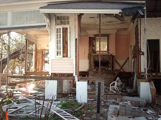
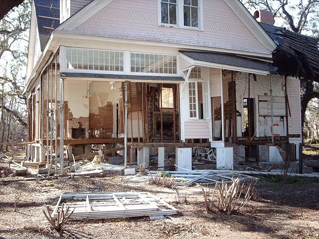
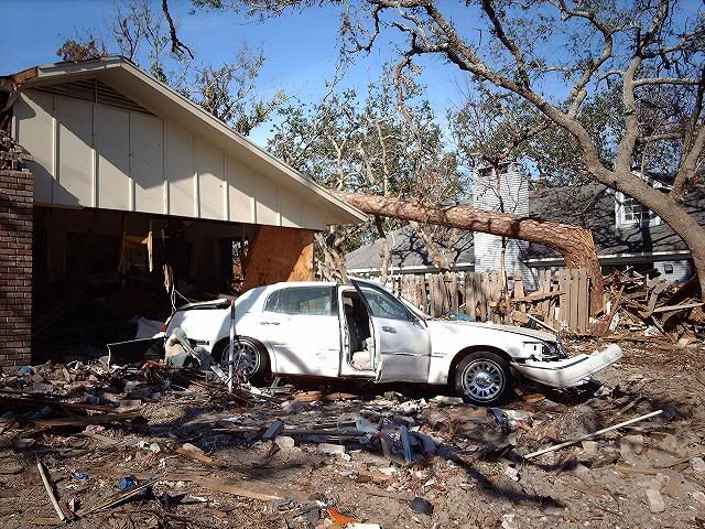
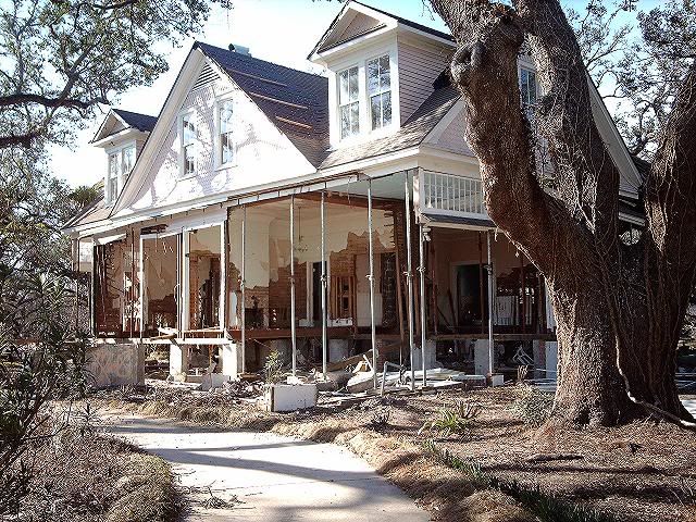 this is one of the houses that still stands.
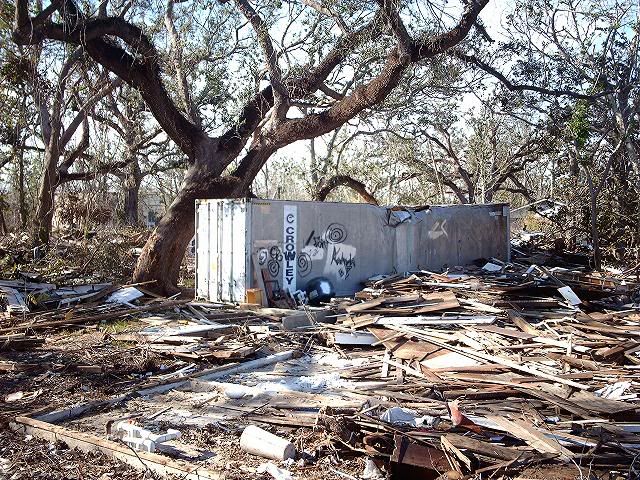
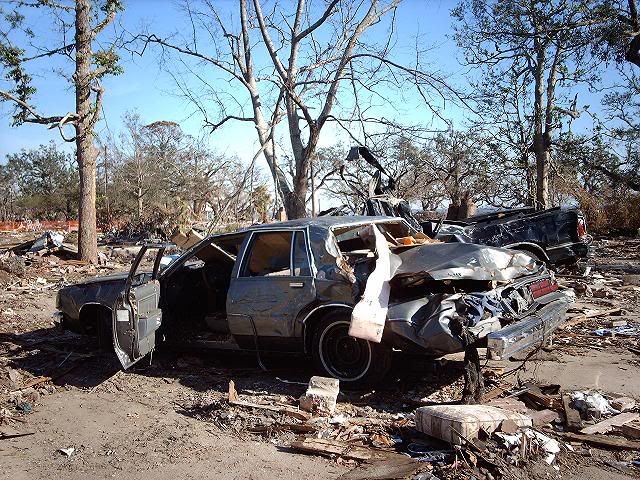
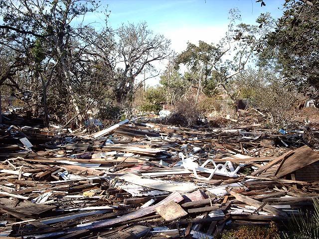 part of the debris line that stretched the entire mississippi coast line, some 80 miles.
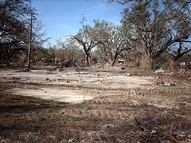
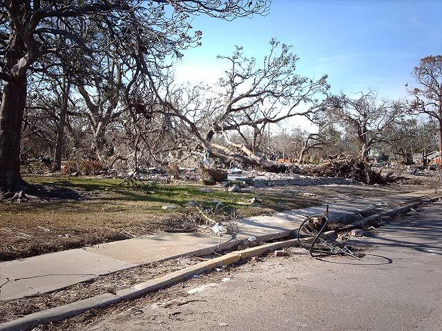
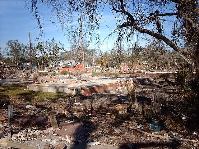
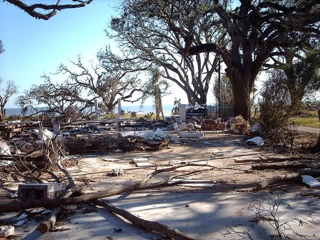 where houses used to be.
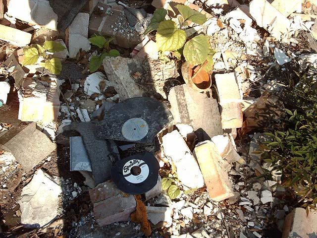
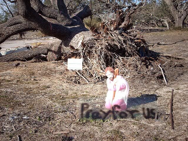
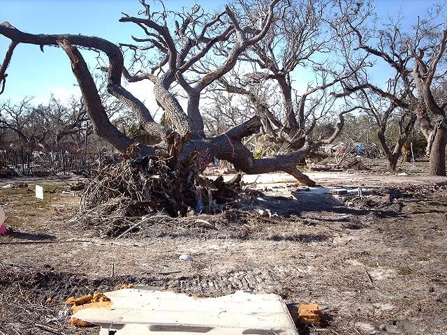
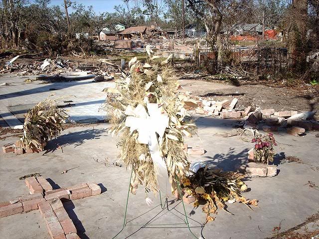 if you look on the left you can see a ladies glasses next to the flowers
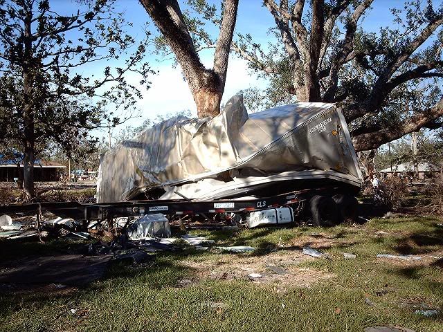 this tralier floated from almost a mile away.
  there were containers everywhere, the kind that go on 18 wheelers. one was full of rotting chicken, my family said it smelled horrible. flies everywhere.
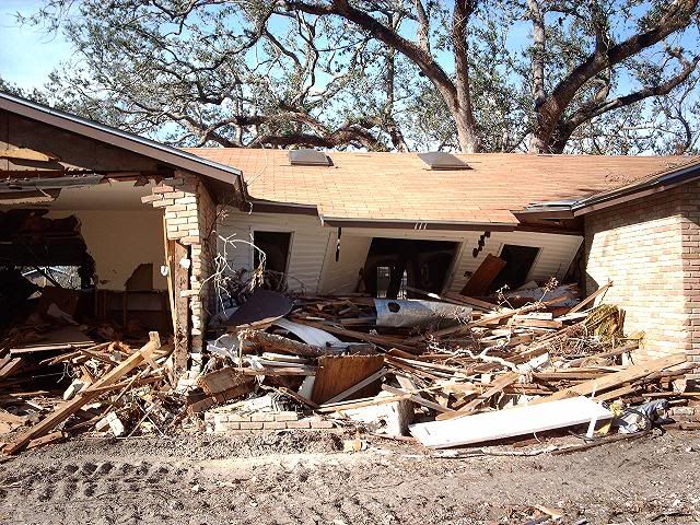
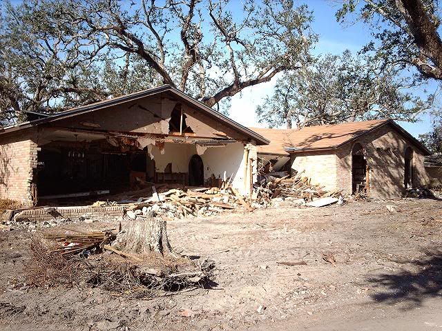
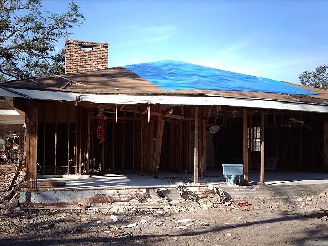
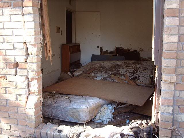
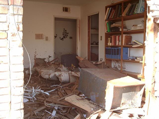


 this is one of the houses that still stands.
 part of the debris line that stretched the entire mississippi coast line, some 80 miles.


 where houses used to be.


 if you look on the left you can see a ladies glasses next to the flowers


 this tralier floated from almost a mile away.
  there were containers everywhere, the kind that go on 18 wheelers. one was full of rotting chicken, my family said it smelled horrible. flies everywhere.


Comments
This picture is deep. Good shot.
front page of the paper from the day i got there, which was wed. before thanksgiving. what was once white sand beach now looks like this.
the road in this pic is highway 90 which is a 4 lane highway,2/2.
church near the beach.
the army bulldozed this road.
more of those fuckin containers